
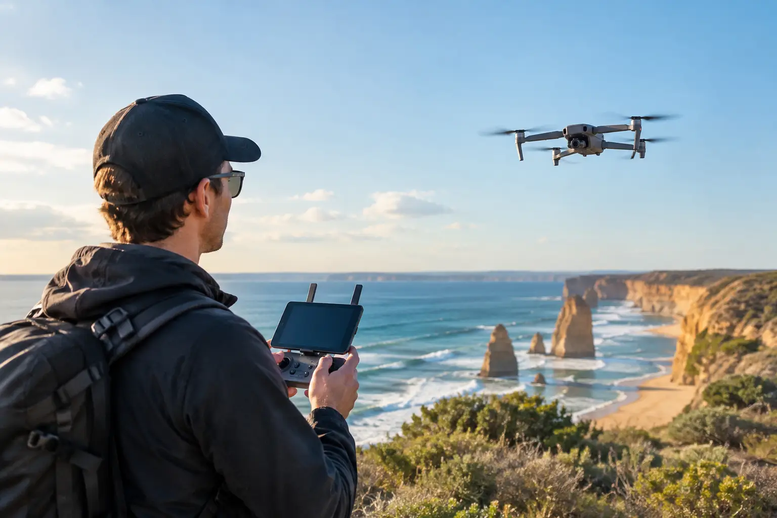
Aerial footage can establish the scale of a mine site, show a property in context or turn a routine corporate story into something people actually stop and watch. But drone permit requirements are not a single form to tick before take-off. For a commercial shoot in Australia, they are usually a combination of aviation rules, operator credentials, airspace approvals, land access permissions and site-specific safety controls.
That distinction matters to organisations commissioning content. A polished aerial sequence is only useful if it is captured safely, legally and without putting a launch date, public event or stakeholder relationship at risk. The right planning protects the production and keeps the focus where it belongs: producing visual content that does a job for the business.
What drone permit requirements actually cover
In practice, a drone “permit” may refer to several different approvals. The required combination depends on the aircraft, location, operating conditions, purpose of the flight and people on the ground.
At the aviation level, all drone operations must comply with Civil Aviation Safety Authority rules. The operator may fly under the excluded category for certain lower-risk commercial work, provided they meet its conditions and have notified CASA. Other operations require a Remote Pilot Licence (RePL), conducted under a Remote Operator Certificate (ReOC), or both. This is more likely where the operation is larger, more complex or falls outside standard operating conditions.
Then there is land and location permission. CASA compliance does not give a crew the right to launch from, land on or film over private land, a council reserve, a national park, rail corridor, port, school, construction site or government-controlled facility. The land manager can impose separate conditions, require public liability insurance, set filming fees or decline access altogether.
For clients, the important question is not simply, “Can you fly a drone?” It is, “Can you deliver the required shot at this location, on this date, under a documented and defensible approval process?”
CASA rules: the operating baseline
Commercial production crews plan every flight around CASA’s operating framework. Standard rules generally include keeping the drone within visual line of sight, flying in daylight, staying below 120 metres above ground level, and maintaining appropriate separation from people who are not involved in the operation.
Flights over people, near emergency activity, in prohibited or restricted airspace, or in unsuitable weather create obvious safety concerns. They can also move a straightforward production into a more specialised operation. A shot that looks simple in a creative treatment may be difficult in reality if it requires flying above a busy precinct, tracking a moving vehicle, operating close to a heliport or filming after dark.
The production solution is not to force the original shot. It is to assess the communication objective and find the safest way to achieve it. That may mean changing the flight path, filming before a site opens, creating a controlled ground area, using a longer lens from a compliant position, or combining aerial footage with ground-based movement and graphics.
Operator qualifications and the type of flight
There is no one-size-fits-all answer to whether a RePL or ReOC is needed. Weight, operation type and risk profile all matter. An experienced commercial drone provider should be able to explain the basis on which it will operate, rather than treating credentials as a vague badge of legitimacy.
For higher-risk work, the operator’s approvals, operations manual, maintenance arrangements and safety systems become especially relevant. This is common on industrial sites, around infrastructure, near controlled airspace, or where client safety requirements exceed the minimum aviation rules.
A credible operator will also hold appropriate public liability insurance and provide the documentation a client, location manager or principal contractor needs. On a corporate project, this is not paperwork for paperwork’s sake. It is part of managing operational risk alongside inductions, traffic plans, personal protective equipment and site access.
Airspace can change the production plan
Airspace is one of the most common reasons an aerial shoot needs additional lead time. Locations near airports, heliports, defence facilities, hospitals or active aviation routes may have constraints that are not visible when viewing a map or standing on site.
A drone may be physically capable of capturing a skyline, campus or factory exterior, but that does not mean it can fly at the planned height or position. Controlled airspace, restricted areas and temporary airspace restrictions can all affect what is possible. Emergency operations, major events and changing aviation activity may introduce conditions at short notice.
This is why airspace should be checked early, not on the morning of the shoot. Where an approval is needed, the operator must allow time for the relevant aviation authority or air traffic service to assess the request. Approval may be conditional, limited to specific times or heights, or not available at all.
For marketing and communications teams, the practical implication is straightforward: do not make aerial footage the only way a campaign can succeed unless the location has been properly assessed. Build a creative plan with options. A strong production approach protects the story even when operational conditions change.
Land access is separate from flight approval
A common misconception is that permission from a property owner settles every issue. It does not. The owner may allow filming on their site, while nearby airspace, neighbouring land, public roads or a managed reserve introduce separate considerations.
In New South Wales, councils, national parks, Crown land managers and transport-related authorities can each have their own filming and drone policies. Some require a formal application. Some restrict take-off and landing within their land, even where the intended aerial view extends beyond it. Others may require an approved filming permit, evidence of insurance, a risk assessment, traffic management arrangements or supervision from their staff.
Private industrial locations require a similarly disciplined approach. A mine, manufacturing plant, warehouse, utility facility or construction project may have hazards that make drone work more complex than a typical exterior shoot. Vehicle movements, cranes, electrical infrastructure, dust, wind, confined work zones and sensitive operational areas all need to be considered.
The best results come from involving the site’s health and safety representative early. They can identify constraints before the crew arrives, help organise inductions and advise when operations can pause or an area can be controlled. That saves time and avoids the costly situation where a drone is approved in principle but cannot safely launch on the day.
A practical approval process for commercial shoots
The most reliable way to manage drone permit requirements is to make aerial planning part of pre-production, not a late addition to the shot list. Once the core objective is clear, the production team can assess whether aerial footage will add genuine value and what it will take to capture it.
A good planning process starts with the exact location, proposed dates, intended shots, aircraft details and the likely flight area. It then considers airspace, land manager requirements, nearby people, weather exposure, site hazards and privacy considerations. For a public-facing campaign, the team should also consider whether filming could capture identifiable people, neighbouring properties, vehicle registrations or commercially sensitive activity.
The operator can then prepare the relevant risk assessment and flight plan, confirm credentials and insurance, and seek any location or aviation approvals. On more complex productions, this may include a site inspection or a technical recce. The value of a recce is not just compliance. It reveals practical details such as a safe launch position, radio interference, restricted access times, sun direction and whether the desired shot is achievable without disrupting operations.
Allow more time for high-profile locations, government land, national parks, city-centre sites, airports and large industrial facilities. A simple regional property shoot may be arranged quickly if conditions are suitable. A flight near controlled airspace or inside a tightly managed precinct can require a substantially longer lead time and may still involve restrictions.
The questions to ask before booking aerial footage
When engaging a production partner, ask how the crew will confirm aviation compliance, land access and site safety. Ask whether the proposed flight needs any specific approvals, what documentation will be supplied, and what alternative footage is planned if weather or airspace changes the day.
It is also worth asking who owns the approval process. A capable production team can coordinate the drone operator, location manager and client stakeholders, but some permits must be requested by the landholder or event organiser. Establishing responsibilities early prevents gaps and avoids last-minute assumptions.
Most importantly, share the real purpose of the content. If the footage is intended to support recruitment, demonstrate safety culture, promote a development or communicate progress to stakeholders, the team can prioritise the aerial shots that carry the message. That is more valuable than collecting spectacular footage with no clear role in the final edit.
Aerial production works best when compliance and creativity are planned together. Give the right team enough information and enough lead time, and the drone becomes more than an impressive viewpoint – it becomes a reliable business asset in the story you need to tell.